Mastering pilotage and dead reckoning is one of the most empowering milestones in a student pilot's training. Long before GPS became ubiquitous in general aviation cockpits, pilots navigated the skies with nothing more than a sectional chart, a compass, a clock, and sharp eyes scanning the ground below. These two foundational VFR navigation techniques are not relics of the past — they are core competencies that every private pilot certificate candidate must demonstrate, and for very good reason.
At Savannah Aviation, our experienced flight instructors teach pilotage and dead reckoning from the ground up, ensuring every student can navigate safely and confidently with or without electronic aids. Call (912) 964-1022 to schedule your introductory lesson and start building the navigation skills that will serve you throughout your entire flying career.
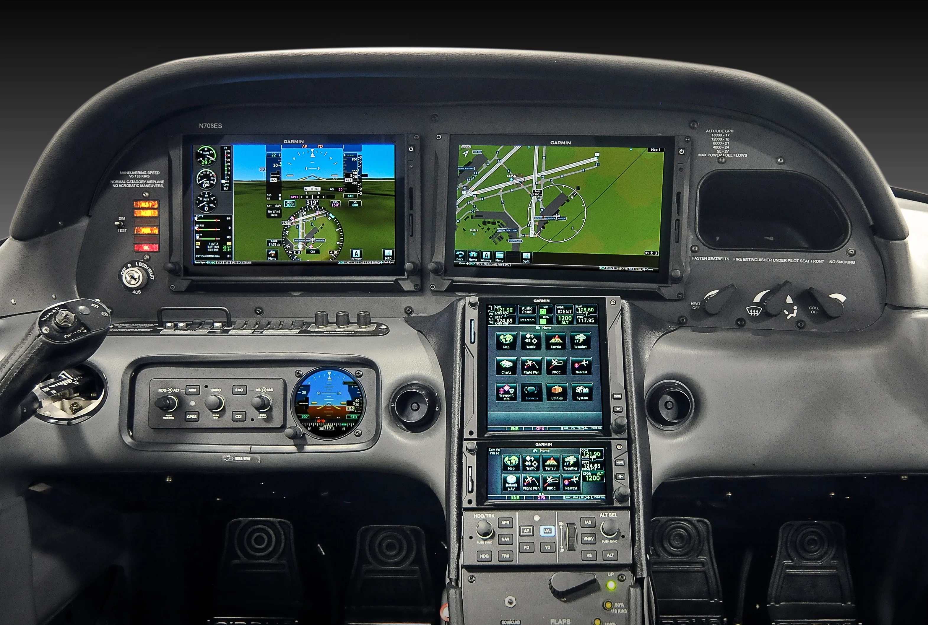
Many student pilots assume that GPS and moving-map displays have made traditional navigation obsolete. That assumption is dangerous. Electronics fail, databases expire, and signal can be lost. A pilot who cannot revert to pilotage and dead reckoning when the screen goes dark is a pilot who is not fully prepared for the real world of flying. This guide will walk you through both techniques in detail, explain how they complement each other, and show you how to integrate them into a complete VFR navigation plan.
Pilotage is the art of navigating by visual reference to landmarks on the ground. The term comes from the word "pilot" in its oldest nautical sense — one who guides a vessel by direct observation of the surrounding terrain. In aviation, pilotage means you identify your position and track your progress by matching what you see out the window to what is depicted on your sectional aeronautical chart.
Effective pilotage depends on three things working together: a current, folded sectional chart oriented to your direction of travel, a thorough pre-flight study of your route so you know which landmarks to expect, and disciplined visual scanning to find those checkpoints in the real world at the right time.
Not all landmarks are equal for pilotage purposes. The best checkpoints share several characteristics that make them easy to identify from altitude and difficult to confuse with other features:
Before your flight, trace your route on the sectional and circle each planned checkpoint in pencil. Note the estimated time you should reach each one based on your planned groundspeed. Once airborne, scan ahead of the aircraft — not to the side — because you want to identify the checkpoint before you are directly over it, giving yourself time to correct if you are off track. When a checkpoint appears, confirm it by matching multiple features simultaneously: the shape of the lake AND the road intersection beside it AND the power line running southeast, for example. Matching a single feature in isolation can lead to misidentification.
Dead reckoning is the process of calculating your current position based on a previously known position, your heading, your airspeed, the time elapsed, and a wind correction. The name is believed to derive from "deduced reckoning," abbreviated to "ded. reckoning" and eventually corrupted into "dead reckoning." Whatever its origin, the technique is mathematically rigorous and genuinely reliable when executed carefully.
Where pilotage is reactive — you confirm your position by seeing a landmark — dead reckoning is proactive. You calculate where you should be before you get there, then use pilotage to verify that the calculation was correct. Together, the two methods create a continuous loop of prediction and confirmation that is far more robust than either technique alone.
Every dead reckoning calculation involves the same four variables:
The E6-B flight computer — affectionately called the "whiz wheel" by generations of pilots — is the traditional tool for solving dead reckoning problems. Its rotating circular slide rule solves wind triangle problems, converts between TAS and indicated airspeed, calculates fuel burn, and computes time-speed-distance problems. The FAA expects you to use it proficiently on both your private pilot written exam and your checkride. Digital E6-B apps exist and are useful for practice, but many checkride examiners will ask you to demonstrate the manual wheel as well.
To solve a wind triangle on the E6-B: enter your true course, wind direction, wind speed, and true airspeed, then read off the wind correction angle and groundspeed. Apply magnetic variation to your true heading to get your compass heading, and correct for compass deviation using your aircraft's deviation card. The result is the heading you actually fly.
The most effective VFR navigation strategy combines both techniques into a single, unified workflow. Here is how a well-trained student pilot approaches a cross-country flight from preparation through landing:
Study the entire route on the sectional chart before you ever start the engine. Draw your course line, measure each leg with your plotter, and note the true course for each segment. Identify visual checkpoints at regular intervals, and mark the time, heading, and altitude at each one on a paper navigation log. Obtain a standard weather briefing and note the winds aloft forecast at your planned cruising altitude — these winds feed directly into your dead reckoning calculations. Compute your wind correction angle, groundspeed, and estimated time en route for each leg.
Depart on your computed heading and start your timer. Scan ahead for your first checkpoint and confirm your groundspeed as you pass over it by comparing actual elapsed time to your estimate. If you arrive early, your groundspeed is higher than planned — a tailwind component is stronger than forecast. If you arrive late, the headwind is stronger. Update your groundspeed estimate and recalculate your remaining time en route accordingly. Repeat this cycle at every checkpoint, continuously refining your situational awareness.
If a checkpoint appears off to one side of where you expected it, you have drifted off course. Use the "double the angle" method to return efficiently: estimate how many degrees off course the checkpoint is, then fly double that correction angle toward your course line for the same amount of time it took to drift, then resume your original heading. More formally, you can use the 1-in-60 rule: for every 1 degree of heading error, you drift 1 nautical mile off course per 60 nautical miles traveled. These are the kinds of mental math skills your flight education at Savannah Aviation will develop into habit.
The FAA's Airman Certification Standards for the private pilot certificate explicitly require applicants to demonstrate navigation by pilotage and dead reckoning during the practical test. This is not a bureaucratic formality. The requirement exists because avionics fail, databases can be outdated, and situational awareness built on GPS alone can collapse the moment the technology does. Pilots who genuinely understand where they are — not just what a screen tells them — are safer, more adaptable, and more confident in every flying environment.
Beyond the checkride, pilotage and dead reckoning sharpen the fundamental mental discipline of aviation: planning ahead, maintaining positional awareness, correcting systematically when reality diverges from the plan, and never letting the aircraft get ahead of your thinking. These habits do not stay confined to navigation — they flow into every other domain of airmanship.
If you are ready to build these skills in a structured, supportive environment, contact Savannah Aviation today. Our instructors are passionate about developing pilots who are truly capable — not just passengers who happen to hold the controls.
Request a personalized discovery flight and experience how professional instruction and careful preparation make learning to fly exciting and rewarding. Our team guides every step to help you build skills safely and confidently.
.webp)





.webp)