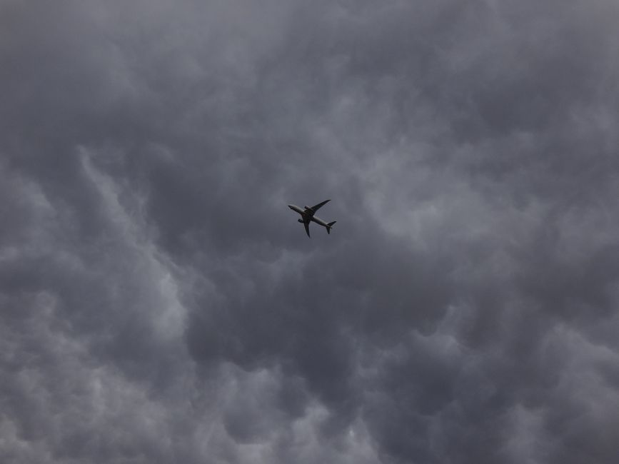
The sky may look like an open, endless blue void, but it is actually divided into highly structured segments known as classes of airspace. For any pilot, understanding these invisible boundaries is the difference between a safe journey and a serious regulatory violation. Each sector has specific entry requirements, weather minimums, and communication rules that ensure aircraft remain separated and safe.
Navigating these areas requires a combination of pre-flight planning and real-time situational awareness. Whether you are a student pilot or a seasoned professional, the fundamental definitions of these zones dictate how you interact with Air Traffic Control. By mastering the nuances of each category through a reputable flight school, you can confidently traverse the complex network of routes that define our modern aviation infrastructure and environment.
Controlled airspace is a generic term that covers several different categories where Air Traffic Control service is provided. In these areas, the controller has the authority to direct the flow of traffic and provide separation between aircraft. This is especially important near busy commercial hubs where the volume of traffic is significantly higher than in rural sectors.
Within these zones, pilots must often adhere to strict visibility and cloud clearance requirements. These rules are designed to give pilots enough time to see and avoid other aircraft in the vicinity. Failing to respect these boundaries can lead to mid-air conflicts or deviations that disrupt the entire flow of the national transportation system for many other users.
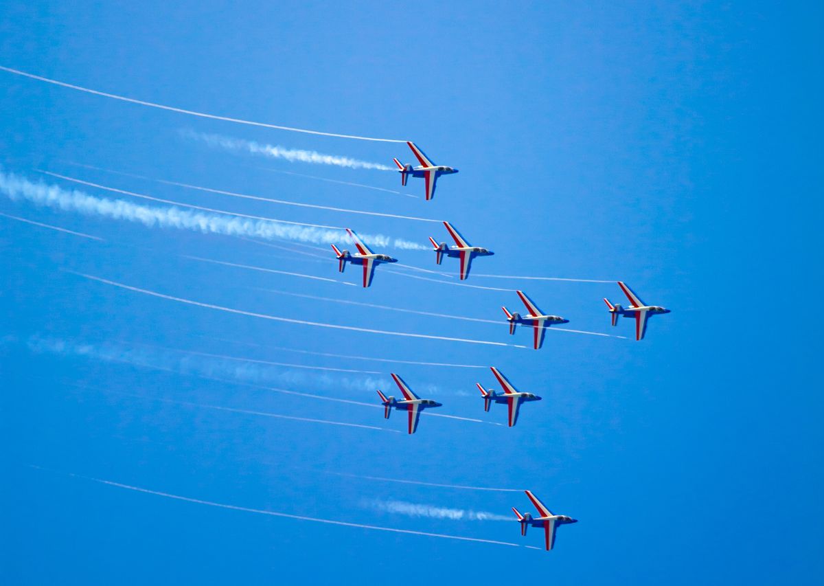
Class A is the most restrictive category and typically starts at 18,000 feet Mean Sea Level. It extends up to and including Flight Level 600. In this environment, all operations must be conducted under Instrument Flight Rules. This means that every pilot must be instrument-rated and the aircraft must be equipped for high-altitude flight with specific transponder capabilities.
There are no visual flight rules allowed in this region because the speeds of the jets are too high for see-and-avoid techniques to be reliable. Because the base is so high, general aviation pilots often stay below this level unless they are flying sophisticated pressurized equipment. It is a world of high-speed travel where precision and constant communication are the standard.
Class B protects the nation's busiest airports and is often described as looking like an upside-down wedding cake. It features multiple layers that expand in diameter as the altitude increases. To enter this zone, a pilot must receive an explicit clearance from Air Traffic Control, even if they are flying in perfectly clear weather conditions.
The requirements for equipment are more stringent here, often requiring a Mode S transponder and ADS-B Out technology. Traffic in this area is dense, consisting mainly of large commercial airliners. If you are looking to build hours in these complex environments, utilizing a reliable aircraft rental service allows you to practice navigation in various types of regulated skies.
Class C usually surrounds airports that have a moderate amount of commercial traffic and an operational control tower. It typically consists of a five-mile radius core and a ten-mile radius shelf. Pilots must establish two-way radio communication with the controller prior to entry, but they do not necessarily need a specific clearance like in Class B.
Class D is simpler, usually covering a small radius around a towered airport without the tiered shelf system. It extends from the surface up to a specific altitude, often 2,500 feet above the airport elevation. These zones provide a protected environment for student training and local traffic, ensuring that everyone on the frequency is aware of nearby movements.
Class E is the most common type of controlled airspace and fills the gaps between the other more restrictive zones. It exists at various altitudes, often starting at 700 feet or 1,200 feet above the ground. Its primary purpose is to provide controlled environments for instrument approaches at airports that do not have a control tower.
While it is considered controlled, VFR pilots do not need to talk to anyone to fly through it. They simply need to follow the prescribed weather minimums to ensure they can see and be seen. It is a flexible category that provides a high level of safety without requiring constant radio interactions for every single light aircraft in the sky.
Class G is the only category that is considered uncontrolled. In this area, the government does not exercise authority over the movement of aircraft. It generally exists from the surface up to the base of the overlying Class E. It is a popular place for recreational flying, crop dusting, and remote flight training activities.
The weather minimums in this zone are the most relaxed, but that does not mean safety should be ignored. For example, if you are flying at an altitude of 900 feet above the ground in Class G during the day, your visibility requirement might be as low as one mile. However, pilots are always encouraged to maintain much higher personal minimums for their own safety.
Beyond the standard categories, there are several types of special use areas that pilots must avoid or navigate carefully. Prohibited areas are strictly off-limits for security reasons, such as near the White House. Restricted areas are used for military operations like live-fire exercises and can be dangerous to enter without a specific cold-status confirmation.
Other zones include Military Operations Areas and Alert Areas, where high volumes of pilot training or unusual activities occur. While you can technically fly through these under VFR, it is highly recommended to exercise extreme caution. Checking your sectional charts and receiving a briefing is the only way to know the current status of these complex segments.
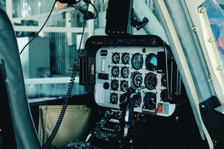
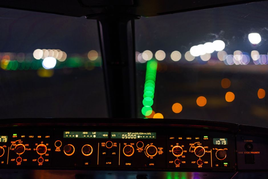
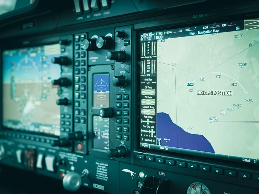
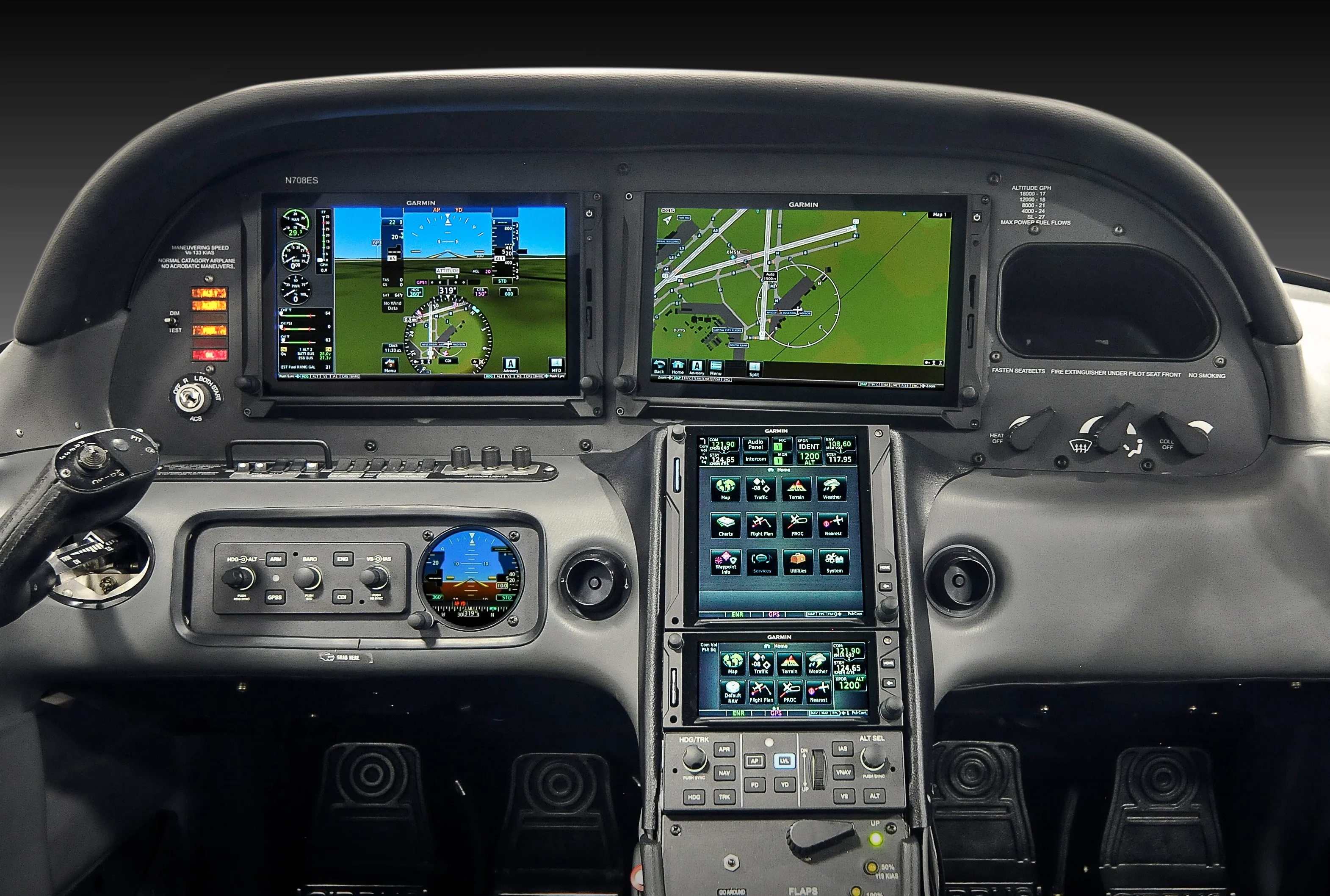
Modern technology has made it much easier to stay within the correct boundaries. GPS units with moving maps often highlight the various zones in different colors, providing an instant visual reference. Transponders allow controllers to see exactly where an aircraft is located, providing an extra layer of safety through radar services and traffic advisories.
Even with great technology, the pilot remains the final authority for the operation of the aircraft. One must always be prepared for a technological failure by knowing how to read a paper sectional chart. Understanding the symbols for each zone ensures that you can stay legal and safe even if your tablet or panel-mounted GPS stops working during the flight.
Reading a sectional chart is a vital skill for identifying the vertical and lateral limits of different zones. Class B is usually marked with solid blue lines, while Class C uses solid magenta. Class D is depicted with dashed blue lines, and the floor of Class E is often shown with a shaded magenta or blue fading edge.
Numbers on the chart indicate the floor and ceiling of these areas in hundreds of feet. For instance, a fraction showing 80 over 40 indicates a ceiling of 8,000 feet and a floor of 4,000 feet. Mastering these symbols allows a pilot to build a three-dimensional mental model of the sky, which is critical for dodging restrictive zones during a long-distance cross-country flight.
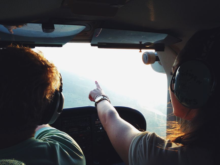
Proper radio technique is essential when moving through controlled zones. In Class B, C, and D, you must know exactly what to say to the controller to receive the help or clearance you need. This involves stating who you are, where you are, and what your intentions are for the flight. Clear communication prevents confusion and enhances safety.
In uncontrolled areas, pilots use Common Traffic Advisory Frequencies to announce their positions to other aircraft in the vicinity. Even though no one is directing you, telling others your location helps prevent close calls. It is a culture of mutual respect and cooperation that keeps the aviation community thriving and safe across all different types of operational environments.
Learning about these boundaries is a major part of ground school for any certificate level. Student pilots must receive specific endorsements before they can fly into certain busy zones like Class B. This ensures they have the skills and knowledge to handle the fast-paced environment and complex instructions that come with flying near a major international airport.
Instructors spend hours drilling students on weather minimums and equipment requirements. This knowledge is tested thoroughly during both the written exam and the practical checkride. A pilot who cannot correctly identify their surroundings is a liability in the sky. Therefore, continuous education and review of these rules are necessary for every aviator throughout their entire flying career.
Savannah Aviation has built a legacy of trust by training elite pilots through our comprehensive flight programs and expert maintenance services. We offer private pilot courses, commercial ratings, and certified aircraft rentals to help you achieve your dreams. Our fleet features the modern Cessna 172 equipped with advanced tech for the ultimate learning experience. Navigate your future toward a professional flying career and prepare for takeoff.
Request a personalized discovery flight and experience how professional instruction and careful preparation make learning to fly exciting and rewarding. Our team guides every step to help you build skills safely and confidently.
.webp)


.webp)